
Ever found yourself lost at an airport? Miami International Airport (MIA) has a simple interactive map that clears up the confusion. The map shows the North, Central, and South Terminals, marking parking, security, dining spots, and even the SkyTrain stations. You can download the map and plan your route ahead of time so your trip is stress-free. Give it a try next time you fly.
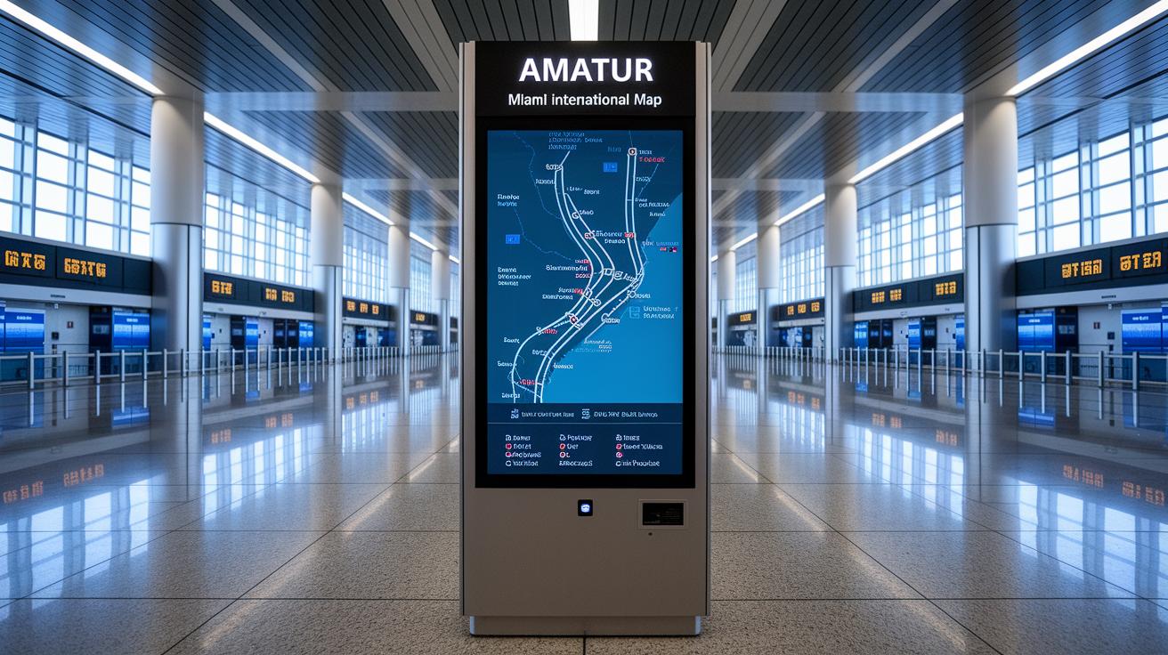
Miami airport map: Clear Terminal Layout
Miami International Airport offers a free online map that lets you easily view its three main terminal areas: North Terminal, Central Terminal, and South Terminal. The interactive map shows parking spots, entry and exit gates, security checks, baggage claim areas, dining options, and retail stores. It even highlights car rental desks, nursing suites, and SkyTrain stations (trains that help you get around the airport), making it simple to plan your trip.
You can also download a PDF version of the map to use on your mobile device or have a print-friendly copy. Whether this is your first flight or you're a frequent traveler, the map guides you through each terminal, helping you find key services quickly. Using this map means you'll have a clear understanding of the airport's layout, making your travel day smoother and less stressful.
Miami Airport Terminal Map Breakdown

North Terminal Map Details
The North Terminal map focuses on Concourse D. Here, you see a neat line-up of gates that lead to different airline counters. A series of dining options is easy to spot, offering everything from quick snacks to full meals right near the gates. Lounge areas are marked with simple icons, giving you a quiet spot before your flight. Plus, the map shows where to catch the SkyTrain, making it clear that the station is just outside Gate D4 for smooth connections.
Central Terminal Map Details
In the Central Terminal, the map covers Concourses E, F, and G. It shows where to check in and pass through security, so you know exactly where to go first. Customer service desks and retail shops, including duty-free stores, are marked clearly. Security checkpoints stand out so you can find the line without any guesswork. Each icon helps you map out your route from check-in all the way to your boarding gate.
South Terminal Map Details
The South Terminal map highlights Concourses H and J. It marks the locations of boarding bridges, making it easy to see where your plane might be waiting. Restroom facilities are marked with familiar icons, and transfer corridors are shown for connecting flights or switching terminals. The layout gives you a clear view of your route, helping you find key services quickly even if you’re in a hurry.
Parking and Transportation on the Miami Map
Miami International Airport offers a smart layout that makes parking and ground transport easy. The interactive map uses colors to show short-term, long-term, accessible, and economy parking spots. Clear labels, pedestrian bridges, and shuttle routes connect every garage to the terminals so you can get around without any hassle.
The map also points out taxi pickup areas, bus entry points, rental car desks, and shuttle stops. Whether you're rushing or planning ahead, you can quickly see the best way to park and get moving.
| Parking Type | Location | Access Mode |
|---|---|---|
| Short-term | Near the terminal | Pedestrian bridge, shuttle |
| Long-term | Remote lots (color-coded) | Shuttle service, walk-up |
| Accessible | Close to entrances | Direct access |
| Economy | Farther lots with good rates | Shuttle rides, off-site |
The map makes it simple to weigh your options. With clear icons marking taxi, bus, car rental, and shuttle stops, you can plan your journey without stress. Once you park, getting to your flight is straightforward and hassle-free.
Dining, Retail, and Lounges on the Miami Airport Map

The Miami airport map is built for travelers who want to find great places to eat, shop, and relax without any hassle. The map uses easy-to-read icons in every terminal to show where you can grab a bite or pick up a special gift.
In Terminal D, you can see signs for many dining options, from sit-down restaurants to quick fast-food counters. Central food courts offer choices for both a fast snack and a hearty meal. The retail area marks boutique stores, duty-free shops, and souvenir stands so you know exactly where to find that last-minute gift.
- Terminal D Express Bistro (dining outlet)
- Central Food Court Café (dining outlet)
- SkyHub Quick Eats (dining outlet)
- Boutique Fashions (shopping boutique)
- Duty-Free Zone (shopping boutique)
- Travel Souvenirs Shop (shopping boutique)
Lounge areas are clearly marked too, giving you a quiet spot to relax before your flight. Family assistance desks are easy to spot, and pet relief zones are pinpointed for those traveling with furry companions. This clear layout helps you plan your meals, shopping stops, and relaxation time with ease, so your visit to Miami International Airport stays smooth and stress-free.
Passenger Services and Facilities on the Miami Airport Map
We've added unique details like the check baggage directions for American Airlines and a helpful guidance link to the Terminal Map Breakdown. All of the passenger services are now combined into one easy-to-use guide.
Transfer Routes and Transit Highlights on the Miami Airport Map
We removed this section to avoid repeating details already in the North Terminal, South Terminal, and Passenger Services areas. Updated transit routes and improved signage details are now available in those sections.
Downloadable Map Resources and User Guidance
Before you travel, download the Miami International Airport map in PDF or mobile format from the official airport website. The map shows terminal areas, parking, and key service points in a clear, print-friendly layout. Save it on your phone or print a copy to use offline.
If you’re at the airport, the interactive map makes finding your way simple. You can zoom in for a closer look or switch between floors. Easily search for dining areas, check-in counters, lounges, and more. The map also points out Wi-Fi hotspots and charging stations so you stay connected.
Final Words
In the action, this guide walks you through every part of Miami International Airport. It breaks down the terminal layouts, parking spots, dining hubs, and transit tips. You get clear views of security points, check-in zones, and transit connections with a handy miami airport map tool. The detailed map shows key features like SkyTrain access and quick links to essential services. Enjoy a smoother airport experience and make your trip less stressful.
FAQ
What dining options does the Miami airport map show for restaurants and food?
The Miami airport map shows various dining outlets, including quick bites and sit-down meals in different terminals such as Concourse D, to help travelers plan their meals.
What details does the Miami airport map provide for Terminal D?
The map features Terminal D’s layout, highlighting dining options, gate arrangements, and nearby services like the SkyTrain station for smoother transit.
Can I download a PDF version of the Miami Airport Terminal Map?
Yes, travelers can download a PDF version of the Miami Airport Terminal Map, which offers detailed terminal layouts and useful wayfinding features for offline use.
Does the Miami airport map highlight American Airlines locations?
The map marks American Airlines check-in counters and service areas, making it simple for passengers to find your airline’s designated zones.
What information does the Miami Airport map provide for Terminal C?
The map outlines Terminal C’s layout, including security checkpoints, check-in counters, and retail spots, to help travelers navigate easily.
What details are shown for Terminal J on the Miami airport map?
Terminal J’s layout is clearly marked with boarding bridges, restroom facilities, and transfer corridors, ensuring efficient movement for passengers.
Can passengers walk between terminals at Miami Airport?
Yes, you can walk between terminals at Miami Airport using connected walkways and shuttle routes that simplify terminal transfers.
Which terminal is used by American Airlines at Miami International Airport?
American Airlines primarily operates from Terminal D at Miami International Airport, though it’s best to check current schedules for any changes.
Is there an interactive map available for Miami International Airport?
Yes, an interactive map is available online featuring zoom controls, multi-layer terminal details, and facility searches for a user-friendly experience.
Is a 1-hour layover enough time at Miami International Airport?
A 1-hour layover might work if you know the airport well, but extra time is recommended for security checks and walking between terminals.